- Himachal Pradesh was formed on 25th January, 1971 with Shimla as a capital.
- The altitude of Himachal Pradesh is 350 mt. to 7025 mt.
- Himachal Pradesh is located between latitude 30°22’ to 33°12’ North and longitude 75°47’ to 79°04’ East.
- Area under the forests in Himachal Pradesh is 37033 sq. km which is 66.5% of the total area of HP.
- The geographical area of Himachal Pradesh is 55673 sq km which is 1.7% of the total area of the state India.
- There are twelve districts in Himachal Pradesh.
- Statehood day of Himachal Pradesh is celebrated on 25th January every year.
- Himachal day is celebrated on 15th April every year.
- State bird of Himachal Pradesh is Jujurana (Western Tragopan).
- State flower of Himachal Pradesh is Pink Rhododendron.
- State animal of Himachal Pradesh is Snow Leopard.
- State tree of Himachal Pradesh is Deodar.
- Neighboring states of Himachal Pradesh are Punjab on West, Jammu & Kashmir on North, Haryana on South, Uttrakhand on South-East and Uttar Pradesh on South-West.
- Languages spoken in Himachal Pradesh are Hindi (Official language), other languages namely English, Punjabi, Mahasui, Kulluyi, Lahauli, Kinnauri, Sirmauri, Chambyali, Bilaspuri, Pahari, Kangri, Mandiyali and Dogri.
- Largest district (area wise) of Himachal Pradesh is Lahaul-Spiti with an area of 13833 sq km.
- Smallest district (area wise) of Himachal Pradesh is Hamirpur with an area of 1118 sq. km.
- There are four Lok Sabha constituencies (Hamirpur, Mandi, Shimla, and Kangra) and three Rajya Sabha constituencies in Himachal Pradesh.
See also:
Kindly point out the mistakes if any, in the comment section.
Happy Reading!
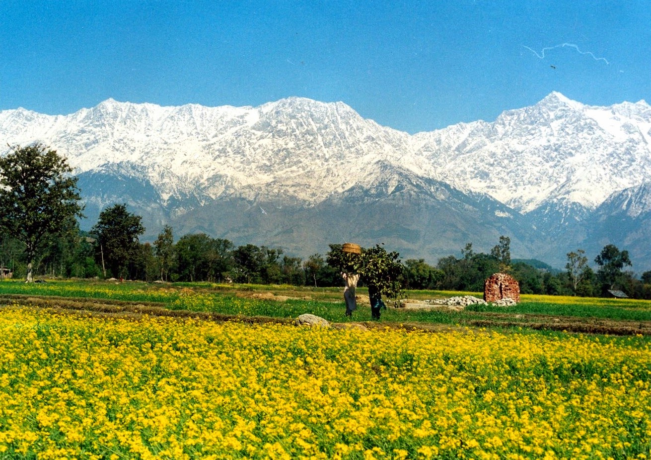
View of Dhauladhar Range from Kangra


Outstanding work Bro!!!. I will get stuck to your blog. Cheers!!!
ReplyDeleteI think area under forest is 26.3% not 66.5%
ReplyDeleteSantosh g area under forest cover is 66.5% but however under tree plantation it is considered as 26.3%....Don't be confused in btwn these two facts
ReplyDeleteGreat work.. i don't think after reading your
ReplyDeletepage one needs to go flip through Balokharaz pages..
Is there any question papers PDF available in this blog....???
ReplyDeletenice piece of work
ReplyDelete#APPRITIATED